
Former ISRO scientist’s startup to make low-altitude, high-resolution radars
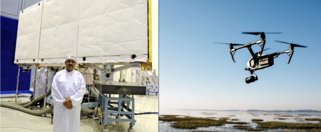
Tapan Misra, a retired scientist from the Indian Space Research Organisation (ISRO), has established a startup focused on developing synthetic aperture radars (SAR) designed for operation at low altitudes. These SAR systems can be integrated into drones to capture more precise images, serving both military and civilian applications.
The startup, named SISIR Radar after Sisir K Mitra, founder of the radio physics department at Calcutta University, is currently developing a high-resolution drone-based SAR. This innovative system aims to offer clear images even when operating at low altitudes, a challenge due to atmospheric disturbances. Typically, SARs are mounted on platforms such as reconnaissance aircraft or satellites.
Tapan Misra, serving as the chairman of SISIR Radar, is working alongside his son Soumya Misra and daughter-in-law Urmi Bhambhani, both contributors to the Ahmedabad-registered startup.
Distinguishing their approach from existing SAR technologies, Misra emphasized the goal of creating a continuous imaging SAR with very high resolution. The team anticipates having a market-ready product within the next two years.
While the startup is currently based in temporary facilities in Kolkata, Misra explained that the city provides essential resources, including angel investors and a pool of microwave engineers. The decision to focus on Kolkata was influenced by the availability of expertise, a factor challenging to find in Gujarat.

Misra declined to disclose specific investors or funding amounts but highlighted the commitment of his son and daughter-in-law, who left well-paying jobs to support the venture. Soumya Misra, an IIT-Kanpur graduate with startup experience, brings valuable expertise to the team.
Addressing the civilian applications of drone-based SAR, Tapan Misra emphasized its potential benefits for various sectors. For instance, companies offering crop insurance can utilize the technology to survey farms, capturing images for insurance purposes. Drones equipped with SAR can monitor pest attacks, observe mining activities, and oversee infrastructure projects or initiatives under rural job guarantee schemes.